Key Features to Look for in Cut and Fill Estimation Software
Cut and fill estimation plays a critical role in construction, civil engineering, and land development projects. Accurate earthwork calculations directly affect project costs, timelines, material logistics, and profitability. As projects grow more complex, relying on manual calculations or basic spreadsheets often leads to errors, rework, and budget overruns.
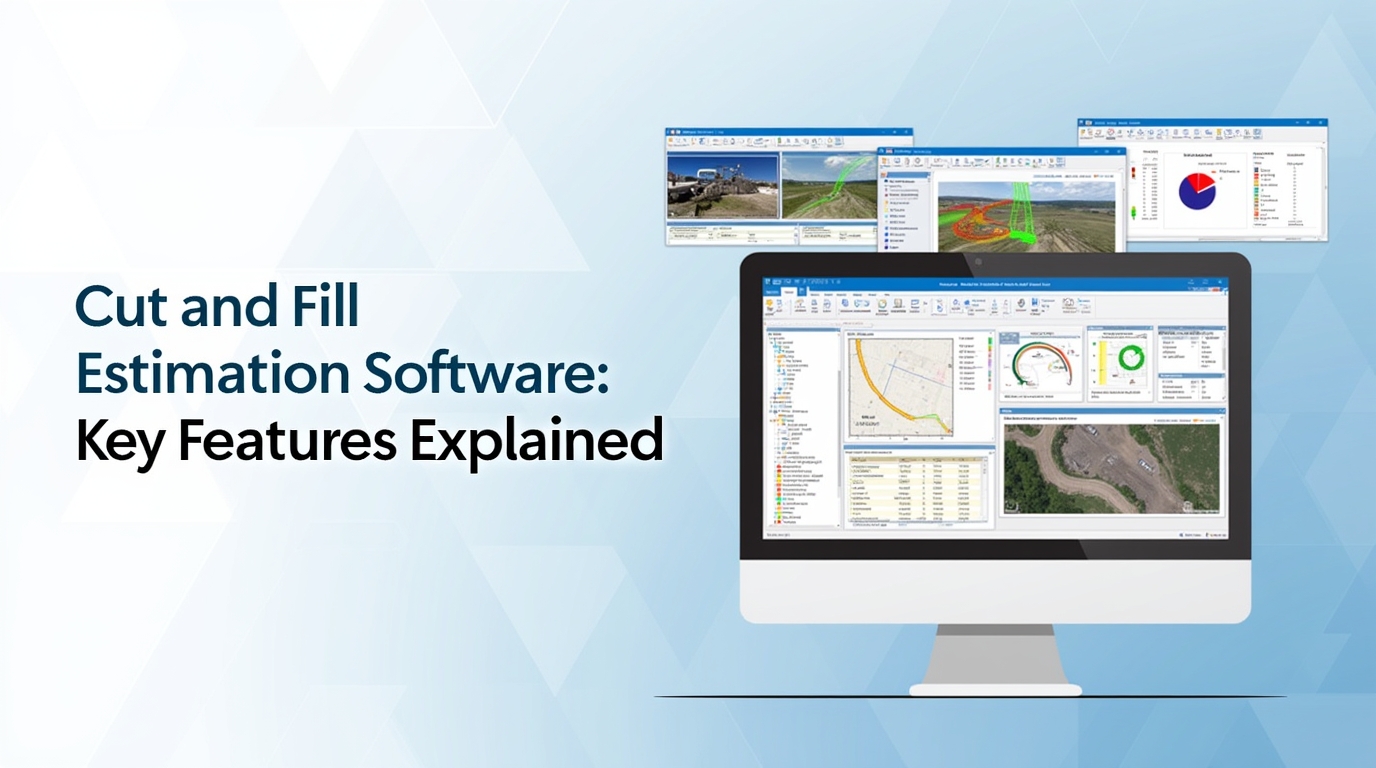
Modern cut and fill estimation and earthwork estimating software are designed to solve these challenges by improving accuracy, efficiency, and decision-making. However, not all solutions offer the same capabilities. Understanding the key features to look for in cut and fill estimation software helps contractors, estimators, and engineers choose the right tool for their needs.
This guide covers the most important features buyers typically look for, aligns with current search intent, and addresses the questions users ask before investing in earthwork estimation software.
Accurate Cut and Fill Volume Calculations
At the core of any cut and fill estimation software is its ability to calculate earthwork volumes accurately. The software should handle complex site conditions, irregular terrain, and multiple surface types without compromising precision.
Look for software that supports:
- Existing ground and proposed surface comparisons
- Grid-based and triangulated (TIN) volume calculations
- Automatic cut and fill balancing
- High-resolution surface modeling
Accurate calculations reduce costly surprises during construction and help teams plan excavation and fill placement more effectively.
Support for Multiple Data Inputs
Reliable cut and fill estimates depend on the quality of input data. The best software supports a wide range of data sources to match real-world workflows.
Common supported inputs include:
- Survey files and point clouds
- CAD drawings and digital site plans
- BIM and civil design models
- Drone and LiDAR data
The ability to import, process, and validate multiple file formats ensures the software fits seamlessly into existing project pipelines and minimizes data conversion errors.
3D Visualization and Surface Modeling
Visualizing earthwork in three dimensions is now a standard expectation. Advanced 3D modeling allows users to see how grading changes impact cut and fill volumes before construction begins.
Effective visualization features include:
- 3D terrain and surface views
- Color-coded cut and fill maps
- Adjustable contour intervals
- Cross-sections and profile views
These tools help users quickly identify problem areas, optimize grading designs, and communicate intent clearly to stakeholders.
Earthwork Balancing and Optimization Tools
One of the primary goals of cut and fill estimation is achieving balance, minimizing material import and export. Software that includes built-in optimization tools helps users evaluate multiple grading scenarios efficiently.
Key capabilities to look for:
- Automatic cut and fill balancing
- Scenario comparison and revision tracking
- Haul distance and material movement analysis
- Shrinkage and swell factor adjustments
Optimization features support cost control and sustainability by reducing unnecessary hauling and waste.
Integration with Design and Construction Software
Cut and fill estimation software should integrate smoothly with commonly used design and construction platforms. Strong interoperability reduces duplicate work and improves data consistency across project teams.
Valuable integrations include:
- CAD and civil design software
- BIM platforms
- Construction estimating and takeoff tools
- Project management systems
Seamless integration allows changes in design to automatically update earthwork quantities, improving coordination and reducing errors.
Automated Reporting and Documentation
Clear documentation is essential for bidding, approvals, and project tracking. The right software simplifies reporting by generating detailed, professional outputs automatically.
Look for reporting features such as:
- Cut and fill volume summaries
- Material movement and haul reports
- Visual diagrams and surface maps
- Exportable formats for sharing and review
Automated reports save time and help ensure consistency across bids, proposals, and internal reviews.
Ease of Use and Learning Curve
Even the most powerful software delivers limited value if it is difficult to use. Buyers increasingly prioritize intuitive interfaces that reduce training time and improve productivity.
Key usability considerations include:
- Clean, intuitive user interface
- Guided workflows and tooltips
- Customizable views and settings
- Minimal reliance on manual data entry
User-friendly software enables teams to adopt digital earthwork estimation faster and apply it across multiple projects.
Speed and Performance on Large Projects
Large infrastructure and land development projects generate massive datasets. Cut and fill estimation software must process these efficiently without performance issues.
Performance-related features to evaluate:
- Fast surface generation and recalculation
- Ability to handle large point clouds and models
- Stable performance during scenario comparisons
- Efficient data storage and retrieval
High performance allows estimators to test multiple grading options quickly and meet tight bid deadlines.
Cloud Access and Collaboration Capabilities
Modern construction workflows often involve distributed teams. Cloud-enabled cut and fill estimation software improves collaboration and accessibility.
Useful cloud features include:
- Secure web-based access
- Real-time collaboration and version control
- Centralized project data
- Easy sharing with internal and external stakeholders
Cloud access ensures teams are always working with the most current information and supports remote workflows.
Accuracy Controls and Quality Assurance
Small errors in earthwork estimation can lead to significant cost impacts. Advanced software includes built-in quality checks to improve confidence in results.
Important accuracy controls include:
- Surface validation tools
- Error detection and warnings
- Adjustable calculation tolerances
- Version tracking and audit trails
These features help users verify results and reduce risk before construction begins.
Scalability for Different Project Types
The best cut and fill estimation software adapts to a wide range of project sizes and applications, from small site grading jobs to large infrastructure developments.
Scalable software supports:
- Residential, commercial, and industrial projects
- Roadway and utility corridors
- Land development and subdivisions
- Mining and large earthmoving operations
Scalability ensures long-term value as business needs evolve.
Emerging Technologies: Automation and Intelligent Analysis
Recent advances in automation and intelligent analysis are shaping the future of earthwork estimation. Many buyers now look for software that goes beyond basic calculations.
Innovative features may include:
- Automated surface generation
- Intelligent grading suggestions
- Data-driven scenario analysis
- Predictive insights based on historical projects
These capabilities align with how search engines increasingly highlight advanced tools in AI-generated overviews, helping users make more informed decisions faster.
Cost Transparency and Long-Term Value
While pricing varies, buyers should evaluate total value rather than upfront cost alone. Software that improves accuracy, saves time, and reduces rework often delivers strong long-term returns.
Consider:
- Licensing flexibility
- Training and support availability
- Frequency of updates and improvements
- Return on investment through time savings
Choosing the right software is an investment in efficiency, accuracy, and competitiveness.
Conclusion
Selecting the right cut and fill estimation software requires more than comparing price tags or feature lists. The best solutions combine accurate calculations, powerful visualization, seamless integration, and user-friendly design to support real-world construction workflows.
By focusing on the features outlined above, accuracy, data support, optimization, collaboration, and scalability, contractors and engineers can make informed decisions that reduce risk, improve bid accuracy, and streamline earthwork planning.
As digital construction continues to evolve, investing in capable cut and fill estimation software is no longer optional, it is essential for delivering successful projects.